We have seen excavation crews hit buried organic silt lenses at minus two meters, stop the backhoe, and lose three days waiting for a geotechnical opinion. That delay is completely avoidable. Winnipeg's subsurface is a layered legacy of glacial Lake Agassiz — fat clays, laminated silts, and occasional sand pockets — and guessing what lies beneath the topsoil is a costly gamble. An exploratory test pit puts your site team directly at the excavation face, logging real soil fabric before footings or service trenches are laid out. Unlike borehole-only programs, a test pit reveals lateral continuity, seepage paths, and fill anomalies in plain view. In neighborhoods like River Heights or Transcona, where old foundations and undocumented backfill hide beneath manicured lawns, we pair the pit with grain-size analysis to flag frost-susceptible material before it becomes a winter heave problem.
If you cannot see the seam between Lake Agassiz clay and glacial till, you are designing on an assumption — and in Winnipeg, assumptions heave.
Local considerations
Winnipeg grew on the flat, lacustrine plain left by Lake Agassiz, and its early infrastructure — streetcar lines, combined sewers, and masonry buildings — sits on a blanket of compressible clay that can lose strength when disturbed. Over a century of development has left pockets of organic fill, wood debris, and abandoned utility corridors that do not appear on any as-built drawing. Opening an exploratory test pit before construction is the only way to physically intercept those surprises. The biggest risk is not finding clay; it is finding undocumented fill at footing elevation after the concrete has been poured. In areas like St. Boniface or the Exchange District, where historical land use changed multiple times, we have encountered buried foundations and fuel-oil tanks within the upper three meters. A pit captures those conditions in cross-section and gives the structural team a factual basis for redesign, instead of a change order later.
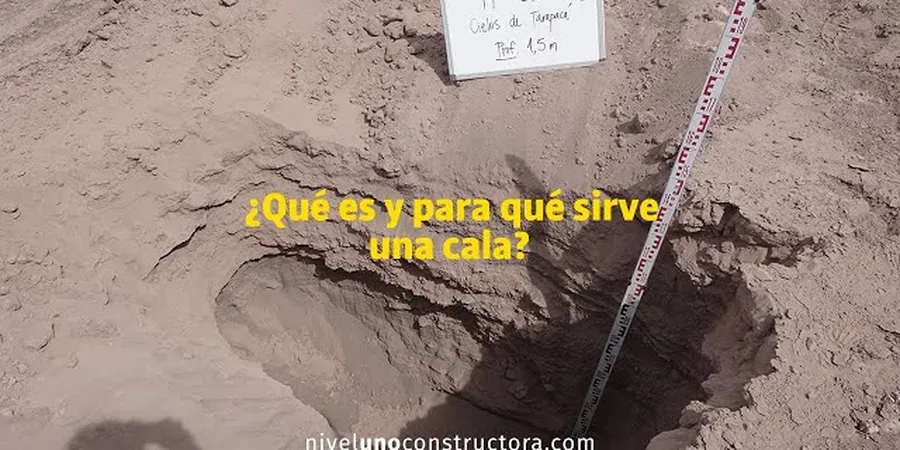
Frequently asked questions
How deep can an exploratory test pit go in Winnipeg's clay before you need shoring?
Under Manitoba's workplace safety regulations, any excavation deeper than 1.5 meters requires a shoring or sloping plan when personnel enter the pit. For backhoe-opened pits where nobody enters, we can reach 4.0 to 4.5 meters with benched sides, but the practical limit in saturated Lake Agassiz clay is often 3.5 meters before sloughing begins. We specify the entry protocol — no-entry observation versus shielded entry — based on depth and soil stability.
Do you backfill the pit after logging, and what compaction standard do you follow?
Yes, we backfill the same day. The material is placed in lifts and compacted with a vibratory plate or jumping-jack tamper, and we verify density with a nuclear gauge or sand cone test. If the pit is within a future footing footprint, we use lean-mix concrete or controlled low-strength material to eliminate settlement risk.
What is the typical cost range for an exploratory test pit in Winnipeg?
A single exploratory test pit in Winnipeg, including backhoe mobilization, field engineering logging, groundwater observation, and a factual report, typically runs between CA$750 and CA$1,260. The final figure depends on access constraints, number of pits, and whether laboratory testing such as grain-size or Atterberg limits is requested.
Can a test pit replace a borehole for a building permit application?
Sometimes. For small residential or agricultural buildings on shallow spread footings, the City of Winnipeg may accept a test pit log backed by laboratory classification tests, provided the pit reaches below the proposed bearing depth and the groundwater condition is documented. For larger structures or where deep compressible clay must be evaluated, we supplement pits with SPT boreholes to capture strength data at depth.