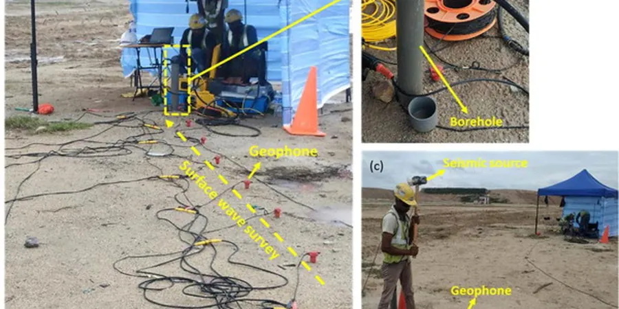
In Winnipeg, a lot of folks assume seismic risk is someone else's problem — the prairies feel stable, and the nearest plate boundary is a continent away. But the layered clays and silts of the Lake Agassiz basin can amplify ground motion in ways that catch engineers off guard. We have mapped site periods across the city where the deep, soft deposits make a four-storey building on the south side respond very differently than one on limestone bedrock near Birds Hill. That is where a detailed seismic microzonation study becomes the key to a rational structural design, not a box-ticking exercise. Our work here combines downhole shear-wave measurements with MASW profiles to build a ground model that respects the real variability of the Red River Valley soils.
Winnipeg's deep lacustrine clays can amplify ground motion well beyond what a generic Site Class D would predict — microzonation reveals the real story.
Local considerations
Skipping a site-specific ground response study in Winnipeg means borrowing a default Site Class D envelope that was never calibrated for the basin's thick, high-plasticity clays. In our experience, the mismatch shows up late in the design cycle — when the structural model already has columns and shear walls locked in — and the retrofit cost multiplies fast. The bigger professional risk, though, is assuming uniform conditions across a parcel. A microzonation study gives the whole design team a shared map of where the soil column changes, so the foundation strategy, drainage plan, and even the seismic joint layout can be tailored zone by zone. When the next Red River flood drives groundwater up and softens the crust, that map becomes even more valuable for long-term performance.
Frequently asked questions
What does a seismic microzonation study cost for a typical Winnipeg commercial lot?
A campaign that covers a mid-size commercial parcel — with a reasonable grid of seismic CPT soundings, a couple of calibration boreholes, and a 1D site response report — generally runs between CA$5,750 and CA$25,700. The spread depends on how many microzones the site crosses and how deep the impedance contrast sits.
Which NBCC site class applies to most Winnipeg soils?
There is no single answer for the city. Shallow till areas in the northwest often class as C, while the deep glaciolacustrine clays of the Red River floodplain frequently class as D or E. Our microzonation maps capture those transitions so you do not have to guess.
How deep do you need to profile for a reliable Vs30 in Winnipeg?
We generally target a minimum of 30 metres, as required by the NBCC definition, but in the central basin we often extend to 50 or even 100 metres to capture the velocity contrast at the till-bedrock interface. That deeper control improves the reliability of the site period estimate.
Can you combine microzonation with a routine geotechnical investigation?
Yes, and that is how most of our Winnipeg projects are structured. We run seismic CPT or downhole tests alongside standard SPT boreholes, so the same mobilization delivers stratigraphy, strength parameters, and shear-wave velocity in one campaign.
Is seismic microzonation only for high-rise buildings?
Not at all. We have mapped microzones for low-rise schools, warehouse parks, and bridge approaches where the owner wanted a defensible site class and a clear picture of ground amplification. Any structure where the seismic load governs the lateral system is a candidate.