← Home · Investigation

SPT Testing in Winnipeg: Subsurface Data for Foundation Design

Together, we solve the challenges of tomorrow.

LEARN MORE →

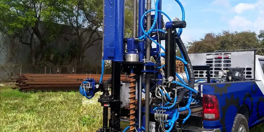
Winnipeg's growth from a fur trading post at The Forks into a modern prairie capital has always been shaped by what lies beneath: the deep, compressible clays of glacial Lake Agassiz. The Red River and Assiniboine floodplains deposited layers of silts and organic soils that challenge every foundation decision from St. James to Transcona. Standard Penetration Testing, or SPT, has been the go-to method here for decades—it gives us a straightforward, repeatable field measurement that ties directly into decades of local geotechnical practice. In neighborhoods like River Heights or new industrial parks near CentrePort, understanding N-values at depth makes the difference between a straightforward shallow footing and a costly deep foundation. The SPT data feeds directly into pile capacity calculations and liquefaction assessments under the National Building Code of Canada, and when paired with lab classification from grain size analysis, we build a soil profile that actually reflects what the driller saw coming up the split spoon.

In Winnipeg's Lake Agassiz clays, an uncorrected N-value of 4 at 12 meters isn't an anomaly—it's Tuesday. The engineering value is in knowing what that means for settlement.

Methodology and scope

Winnipeg sits at an elevation of roughly 239 meters above sea level, but the real story is the 15 to 20 meters of soft Lake Agassiz clay blanketing much of the city—one of the thickest lacustrine deposits in North America. That clay can drop N-values into the single digits well past 10 meters depth, which directly impacts the shaft resistance you can count on for friction piles. Our SPT program runs to ASTM D1586-18, using an automatic trip hammer with energy calibration to ensure the N60 correction isn’t a guess. We log every blow count increment, note the presence of the stiff glacial till that typically appears around 15 to 18 meters depth in the southern parts of the city, and flag any change in moisture or color that hints at a buried channel. For projects near the floodway or in new subdivisions on the city’s expanding southwest fringe, we often combine SPT boreholes with CPT soundings to capture continuous tip resistance and pore pressure data in the transition zone between the lacustrine clay and the underlying till—two datasets that together give a far clearer picture than either one alone.
SPT Testing in Winnipeg: Subsurface Data for Foundation Design
Technical reference image — Winnipeg

Local considerations

One thing we see repeatedly in Winnipeg is contractors treating a single SPT borehole as representative of an entire site, especially on older industrial lots along the CPR yards or in St. Boniface where fill thickness can vary wildly. The lacustrine clay here is surprisingly consistent regionally, but local pockets of alluvial sand or buried organic silt lenses—remnants of old oxbow lakes from the Red River—can throw off a foundation design if missed. Another silent risk is disturbance in the split spoon sample when drilling through the crust of desiccated clay in summer; the top two meters can look stiffer than it really is once wetted. We’ve also encountered artesian conditions in deeper sands below the till in parts of North Kildonan, which can heave the borehole bottom and soften blow counts if not managed with proper drilling fluid. A sparse SPT program here doesn’t just undersample the soil—it can miss a groundwater regime that changes the effective stress profile used in every settlement calculation.

Need a geotechnical assessment?

Reply within 24h.

Email: contact@geotechnicalengineering.vip

Technical parameters

ParameterTypical value
Standard ReferencedASTM D1586-18
Hammer TypeAutomatic trip, energy-calibrated (N₆₀)
SamplerStandard 2-inch split spoon, with liner where specified
Borehole Diameter Range100 mm to 150 mm (hollow-stem auger or mud rotary)
Depth IncrementTypically 1.5 m intervals, or at stratum change
Typical Termination in WinnipegGlacial till refusal (N > 50 over 150 mm penetration)
ReportingN-value, N₆₀, soil description per ASTM D2488, groundwater observations

Associated technical services

01

Geotechnical SPT Boreholes

Deep borings through Lake Agassiz clay into competent glacial till, with full logging, sampling, and groundwater monitoring for foundation design.

02

Seismic Site Class Determination

SPT N-values correlated to shear wave velocity for NBCC site class (C, D, or E), supporting structural engineers with seismic hazard compliance.

03

Pile Capacity Estimation

End-bearing and skin friction calculations for driven piles and drilled shafts using SPT data, calibrated to local Winnipeg till and clay behavior.

04

Liquefaction Screening

Assessment of saturated sand layers below the water table using NCEER/Youd-Idriss method, critical for river-adjacent sites and floodway infrastructure.

Applicable standards

ASTM D1586-18 (Standard Test Method for SPT), ASTM D2488 (Visual-Manual Soil Description), NBCC 2020 (National Building Code of Canada, seismic site class), CSA A23.3 (Design of Concrete Structures, foundation provisions)

Frequently asked questions

How much does an SPT borehole typically cost in Winnipeg?

For a standard SPT borehole in Winnipeg, you’re generally looking at a range between CA$790 and CA$1,110 per borehole, depending on depth, access conditions, and whether lab testing is bundled. Mobilization for a drill rig across the city—from Charleswood to East Kildonan—adds a line item, and deeper holes through the clay into till push toward the upper end of that range.

How deep do SPT boreholes usually go in Winnipeg?

Most SPT boreholes in Winnipeg extend between 15 and 25 meters, which is deep enough to penetrate the soft Lake Agassiz clay and reach the underlying glacial till or bedrock. For taller structures or where deep piles are being considered, we may go deeper, especially if the till is thin or if there’s a need to evaluate the limestone bedrock of the Red River Formation.

What seismic site class does Winnipeg typically fall into?

Much of Winnipeg falls into NBCC site class D or E, depending on the depth and stiffness of the lacustrine clay at the specific location. SPT testing provides the N-values and inferred shear wave velocities needed to assign the correct site class, which directly influences the seismic design forces a structural engineer must use.

Can SPT be used to check for liquefaction in Winnipeg soils?

Yes, liquefaction assessment is a standard output from SPT data when we encounter saturated, loose sandy layers—something that does occur in buried river channel deposits and alluvial sands beneath the clay in parts of the city. We apply the NCEER/Youd-Idriss procedure using corrected N₆₀ values to evaluate the factor of safety against liquefaction at the design earthquake magnitude.

Location and service area

We serve projects across Winnipeg and its metropolitan area.

View larger map